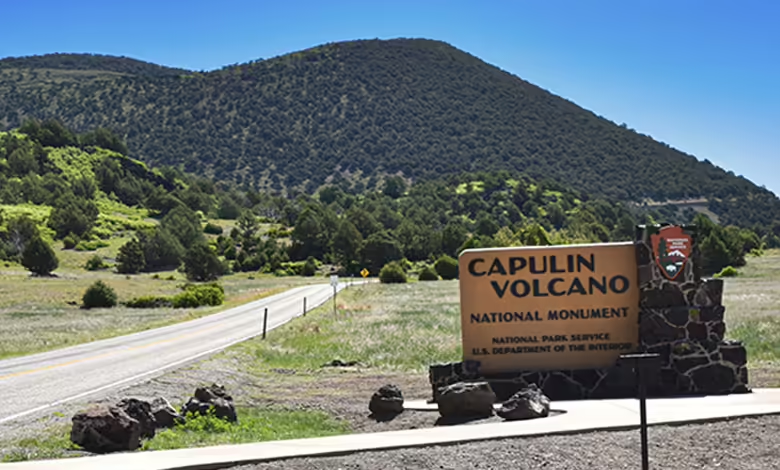
The Annual Senior Pass, at $20 for anyone over 62, is an excellent deal for visiting U.S. national parks. It also grants entry to Federal Recreational Lands, such as the Capulin Volcano National Monument in Northeast New Mexico.
Experts estimate that the volcano last erupted about 60,000 years ago; the (hopefully) extinct volcano rises some 1,300 feet above the New Mexican grassland plains (8,182 feet above sea level). Reached via Hwy 325 from the village of Capulin (listed with a 2022 population of just 74), the road spans a livestock free-range area, and we stopped several times to give way to cattle leisurely drifting across the highway.
After a mandatory pause at the visitor’s center to check in, we followed the narrow, twisting road up and around the volcano, eventually reaching a car park several hundred feet below the summit. For anyone peering out a passenger-side window, the drive up the volcano may be unnerving along the mostly guardrail-free road. But don’t close your eyes – the spectacular view improves with each nail-biting curve.
The adventure begins at the car park, 7,877 feet above sea level, where five trails await. We chose two, forgoing the more strenuous 2-mile unpaved Boca Trail. As its name suggests, the short Crater Vent Trail descends 105 feet along a 0.2-mile paved path to the crater’s bottom and is an easy walk down –remember, you have to walk back up again!
Scattered chunks of ancient volcanic rock dot the landscape at the base. Glancing up toward the rim reveals how vegetation has thrived on the steep slopes of the inner volcanic cone over millennia. Mountain mahogany, scrub oak, various pines, and juniper flourish here, along with chokecherry, also known as Capulin in Spanish, inspired the area’s name. Mule deer also roam freely among the vegetation, and we spotted four from the car park area mid-morning.
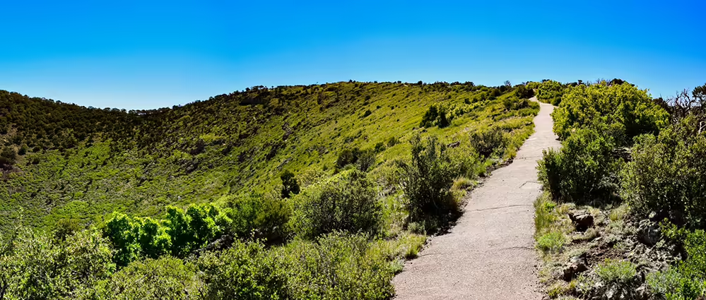
The second trail proved more challenging – the Crater Rim Trail. It’s a mere 1-mile loop skirting the rim to the 8,182-foot peak and down again, but it is somewhat deceptively steep for the first half of the trail. With the aid of a hiking pole, I plodded along, determined to reach the top.
It is a paved trail, with benches along the way to catch your breath while you absorb the view. Eventually, it transitions to a stunning 360-degree panorama from the peak. Of course, what goes up must come down, and the descent is steep and can be slippery in patches after rain. I wouldn’t attempt it if winter ice covered the path. But on a clear day, you can see three additional states: Colorado, Texas, and Oklahoma.
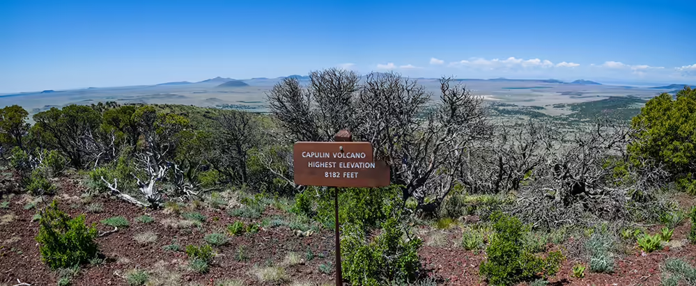
It took about 90 minutes to complete the rim loop, with plenty of pauses to admire the view. Although Capulin erupted long before humans arrived in North America, it was hard not to imagine the ancient fiery fury unleashed all those millennia ago on the very paths we were walking. So, if hiking the rim of a volcano is on your bucket list, grab your annual park pass and head to the Land of Enchantment.


